Borough Maps: Staten Island

|
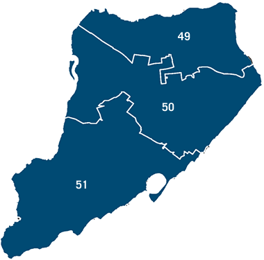
Below is a map of districts in Staten Island. Click on one of the district links in the column to the left for a list of primary election candidates who you can vote for in that district. The map below contains links to NYCityMap, an interactive map of the five boroughs. Clicking on a district in the map will bring up NYCityMap zoomed in to display that council district.
|
||||||
|
|
|
|||||
|
The links on this map will launch NYCityMap, developed and maintained by the City of New York Department of Information Technology & Telecommunications (DoITT), zoomed in on the council district you have selected. |
||||||
